
Reading the Weather
Meteorologist explains how Ozarks terrain shapes the weather
By Amy Merck, Editor
Ask Dan Skoff about severe weather in Northwest Arkansas and he doesn’t answer in generalities. He answers in dates, paths and places.
“April 10, 2008,” he said without hesitation. “A half-mile-wide tornado on the southeast side of Fayetteville. About 5:30 in the morning. My wife heard the roar.”
He keeps going just as easily: March 21, 2019, when a tornado tracked through east Fayetteville near Mission and Crossover. Last May 19, when a tornado tore through Greenland, visible on live cameras.
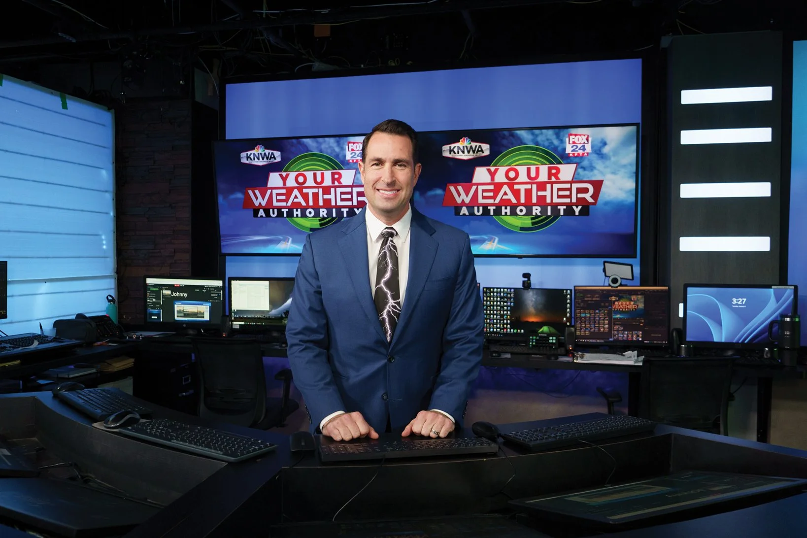
For Skoff, the chief meteorologist for KNWA since 2006, storms aren’t just glowing lines on a radar. They’re tied to neighborhoods, highways and everyday lives.
Spring marks the beginning of the Ozarks’ most active severe weather season, with activity peaking in April and continuing into May. Even with familiar timing, Skoff knows no two storms behave the same. Some of the most dangerous don’t look dramatic at all.
“In this area, about 85 percent of our tornadoes come from fast-moving lines of storms,” he said. “They’re wind-wrapped. You don’t see a classic funnel.” These storms, called quasi-linear convective systems, can produce widespread wind damage while spinning up brief, embedded tornadoes that form and fizzle quickly. “It’s like whack-a-mole,” Skoff said. “One pops up, then another.”
Fayetteville Fizzle?
Many newcomers ask whether the Ozark Mountains offer protection. There’s some truth, Skoff said, but it’s often misunderstood. Hilly terrain can disrupt weaker storms, but strong systems behave differently. He compares them to a lawnmower with the engine fully cranked: once it’s going, it keeps moving until it runs out of fuel.
Residents need to be aware of approaching storms. “Situational awareness is huge,” Skoff said. “Sometimes the warning comes late, and sometimes the storm develops fast. But we may have been talking about the setup for days.”
When sheltering, Skoff teaches DUCK — Downstairs, Under something sturdy, Center of the house, and Keep away from windows. Head protection helps too. Sports helmets or hardhats reduce injuries from flying debris and broken glass.
Skoff cautioned people against relying on tornado sirens as their main alert. Not every city has them, they may fail with power outages and they’re meant for people outdoors, not families asleep inside their homes. “They’re not a bad thing,” he said. “They just shouldn’t be your only alert.”
Awareness also matters after storms pass and power goes out. “I have to give the linemen their props,” Skoff said. “That’s a tough, dangerous job. Lightning is one of the biggest threats they face, and safety has to come first.”
At Ozarks Electric, restoration begins with transmission and main feeder lines before moving into neighborhoods and individual services, allowing the largest number of members to be reconnected as safely and quickly as possible.
Living in tornado country doesn’t mean living in fear, Skoff said. It means being ready. “Storms are part of living here,” he said. “The goal isn’t fear. It’s awareness.”
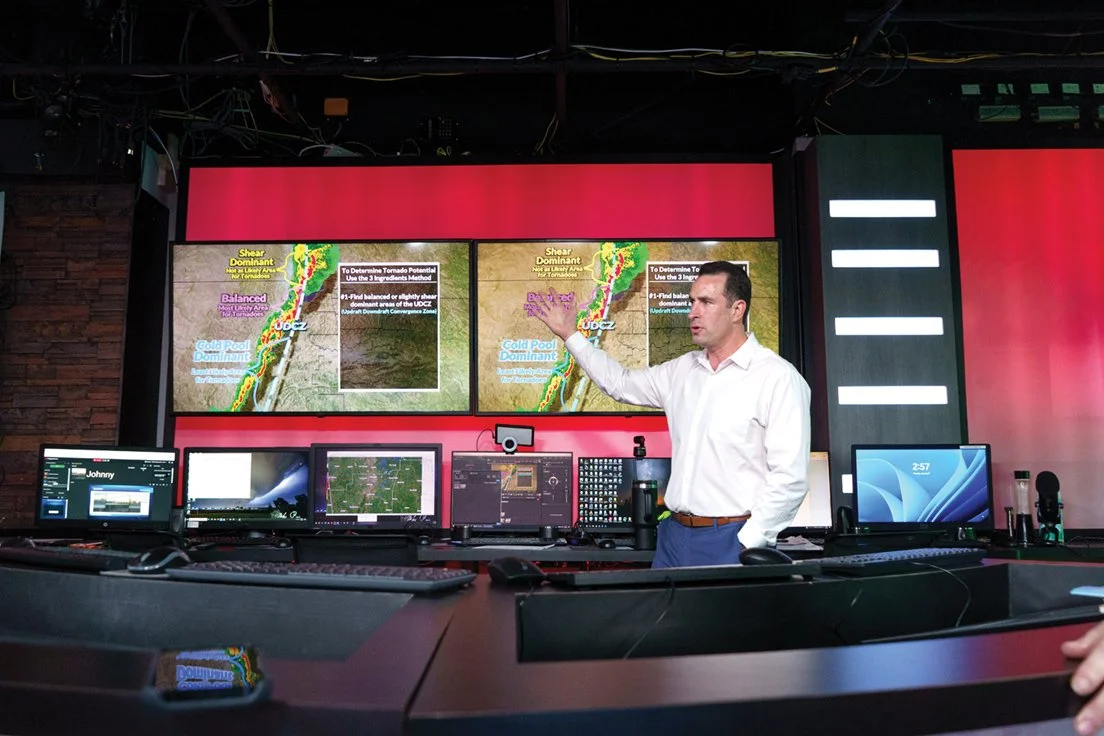
KNWA's chief meteorologist Dan Skoff explains one of the storm models he uses. (Photos by Alex Boyd.)